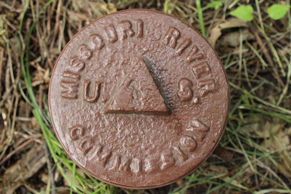
 Since the early days of the United States, exploration and surveying of the Missouri River has been of great importance due to the river’s value for transport and trade. Meriwether Lewis and William Clark were the first to undertake the task of exploring and mapping the mighty Missouri, spending two years navigating the river to its source and making the return trip. As the fertile bottomlands near the river were settled throughout the 1800s and as steamboat travel on the Missouri increased significantly, having accurate maps of the ever changing river took on even greater importance. Under the presidential administration of Chester A. Arthur, Congress created the Missouri River Commission in 1884. The goal of the commission was to survey the river and then make plans to ensure the depth of the river was such that it could support commerce. Floods had washed away many of the original survey markers, which led to decision to create a new reference system with the survey markers placed on top of bluffs.
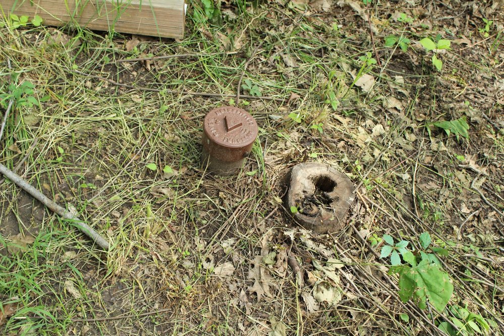
The marker before you was placed here as part of the Missouri River Commission survey and first appeared on a survey map in 1894. Surveyors, using a method known as plane table mapping, eventually installed over 180 total markers. The process was long and laborious, with distances measured by dragging chains of known lengths through dense forests. At the completion of the project, it was decided to make the Weston Marker as the zero, zero marker, or the starting point for all other markers. From that point on, it became known as the Weston Datum. Today, only a handful of the original Missouri River Commission Markers exist. This marker was located and preserved with the assistance of the Corps of Engineers. It serves as a reminder of the difficult task undertaken by our predecessors to better the river commerce of the United States.


