


Park Information
Please be advised that in an effort to deter the black vulture population at Roaring River State Park, park staff are using a pyrotechnic device between 8 a.m. and 10 a.m., daily. Park visitors may hear a loud report or a screaming whistle coming from Campground 3 and the hatchery during this time. Please plan accordingly.
Roaring River State Park is unique on so many levels!
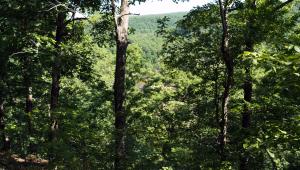
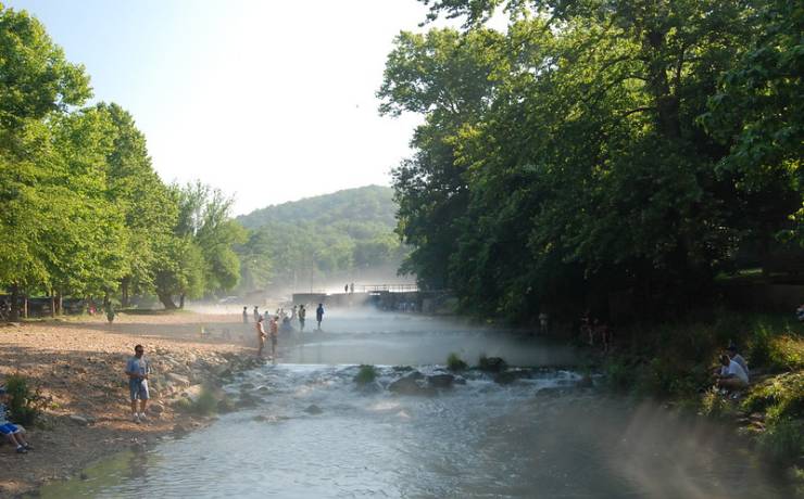
With a deep, narrow valley surrounded by a striking and rugged landscape, Roaring River State Park is one of Missouri’s most popular state parks.
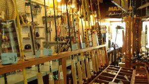
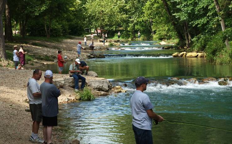
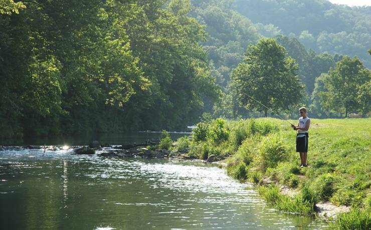
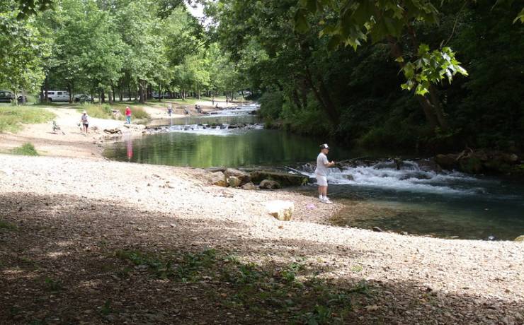
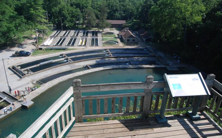
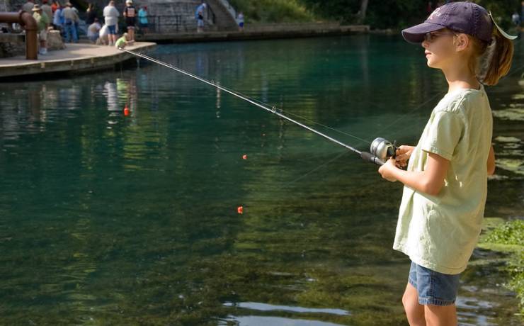
Located in the southwest Ozark hills, Roaring River State Park is one of three state parks stocked with rainbow trout. Eager anglers flock to the park year-round to try and catch their lunker trout.
The scenic setting makes everything more fun. The park has seven hiking trails, picnic tables for a leisurely lunch and a nature center to learn about the park.
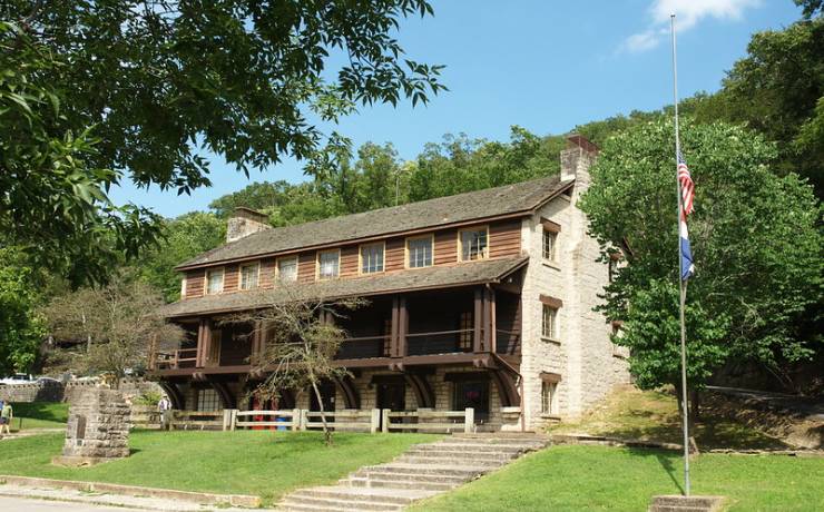
For those wanting to spend the night, the park has many options. The campground has basic, electric and sewer/electric/water sites. Rustic cabins are scattered throughout the park, and guests may also choose a modern room at the CCC Lodge or the Emory Melton Inn and Conference Center. The Emory Melton Inn also boasts a full-service restaurant.