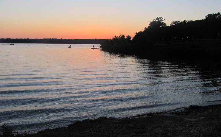
[Skip all navigation]

DNR Home PageDNR Home Page | Locator Map | Resource Center | FAQ | Events | Directory | Search

Pomme de Terre State Park
417-852-4291

Park Map

Hickory County

HC 77, Box 890, Pittsburg, MO 65724
417-852-4291 (Pittsburg), 417-745-6909 (Hermitage)
The park has two areas, one each near Pittsburg and Hermitage which are 8 miles apart, south of U.S. Hwy. 54, Hickory County.

Map of Pomme de Terre SP
How to get to Pomme de Terre SP
Places to visit nearby

Map of Pomme de Terre State Park

Map of Pomme de Terre State Park.

Directions to Pomme de Terre State Park

Pittsburg Area
From Springfield
Travel north on U.S. Hwy. 65 to Louisburg and turn left onto Hwy. 64. Proceed about nine miles and continue right on Hwy. 64 toward Pittsburg. Turn left at Hwy. 64B, which leads to the state park.

From Kansas City
Travel south on U.S. Hwy. 71 to Harrisonville. Take U.S. Hwy. 7 south to Clinton, where you will take U.S. Hwy. 13 to Collins. From there, take U.S. Hwy. 54 east to Hermitage. In Hermitage, turn right onto Hwy. 254 and travel to Carsons Corner; continue straight on Hwy. 64 toward Nemo. At the four-way stop in Nemo turn right, staying on Hwy. 64, and travel over the lake. Turn right onto Hwy. 64B, which leads to the state park.

From Jefferson City
Travel west on U.S. Hwy. 54 through Preston. Turn left onto Route D and travel to the four-way stop in Nemo. Continue straight, now on Hwy. 64, and travel over the lake. Turn right onto Hwy. 64B, which leads to the state park.

From St. Louis
Travel west on I-44 to Lebanon. Take Hwy. 64 west through Louisburg, passing the turnoff for Bennett Spring State Park. Continue right on Hwy. 64 toward Pittsburg. Turn left at Hwy. 64B, which leads to the state park.

Hermitage Area
From Springfield
Travel north on U.S. Hwy. 65 through Urbana. Turn left onto Route NN and continue for about nine miles to the four-way stop at Nemo. Continue straight on Hwy. 64 for two miles then turn left at CR 246. Travel about one mile and turn left onto the state park road.

From Kansas City
Travel south on U.S. Hwy. 71 to Harrisonville. Take U.S. Hwy. 7 south to Clinton, where you will take U.S. Hwy. 13 to Collins. From there, take U.S. Hwy. 54 east to Hermitage. In Hermitage, turn right onto Hwy. 254 and travel to Carsons Corner. Continue straight, now on Hwy. 64, then turn right at CR 246. Travel about one mile and turn left onto the state park road.

From Jefferson City
Travel west on U.S. Hwy. 54 through Preston. Turn left onto Route D and travel to the four-way stop at Nemo. Turn right onto Hwy. 64 and continue two miles to CR 246. Turn left and travel about one mile before turning onto the state park road.

From St. Louis
Travel west on I-44 to Lebanon. Take Hwy. 64 west to Louisburg. At Louisburg, turn right onto U.S. Hwy. 65 and continue through Urbana. Turn left onto Route NN and travel to the four-way stop at Nemo. Continue straight on Hwy. 64 for about two miles. Turn left at CR 246 and continue for one mile before turning left onto the state park road.

Locater map for Pomme de Terre State Park.

Places to visit nearby

Bennett Spring State Park -- directions
Harry S Truman State Park -- directions
Town of Hermitage, 10 miles from Pomme de Terre State Park
Pomme de Terre Lake area attractions
City of Springfield, approximately 65 miles south of Pomme de Terre State Park
U.S. Army Corps of Engineers Visitor Center at Pomme de Terre Lake dam