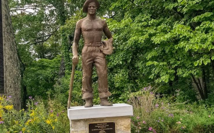
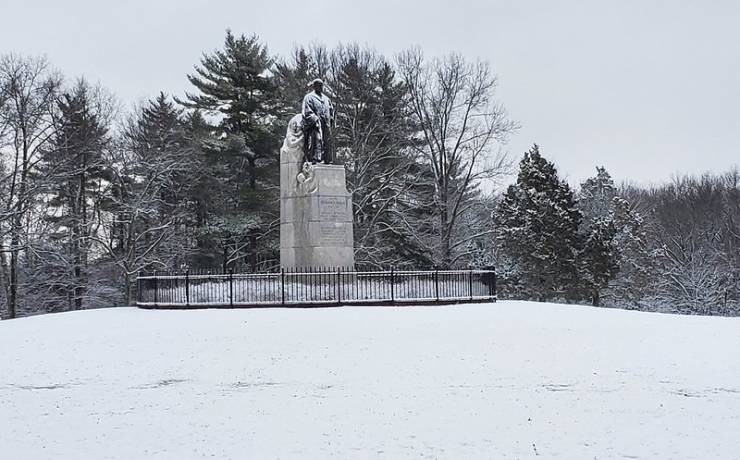
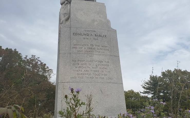
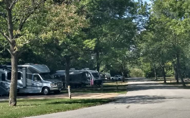
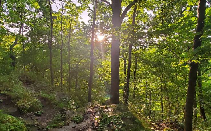
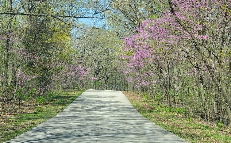
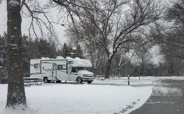
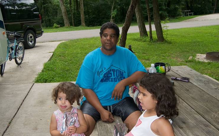
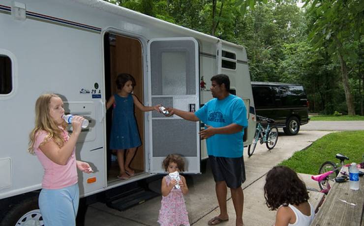
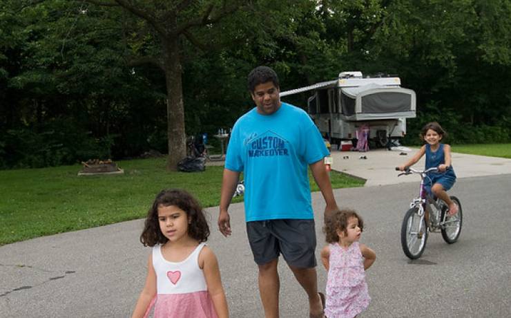
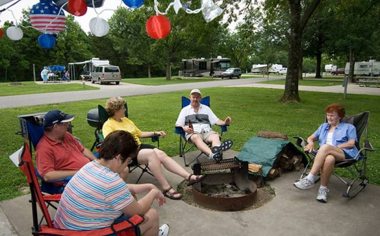
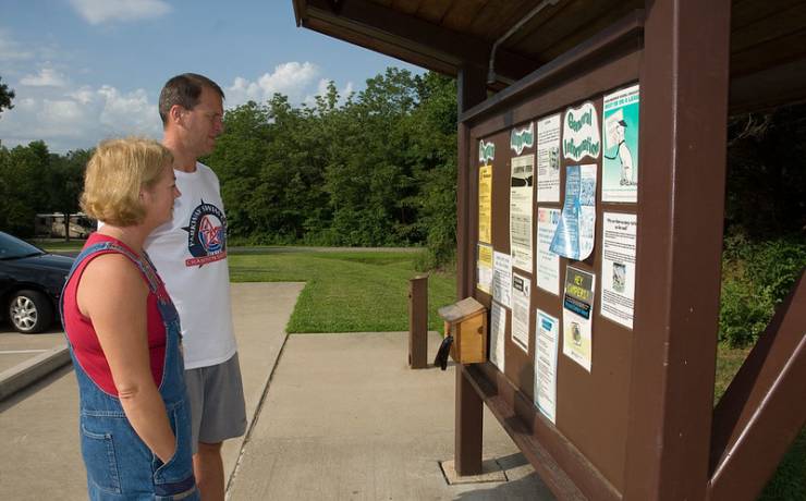
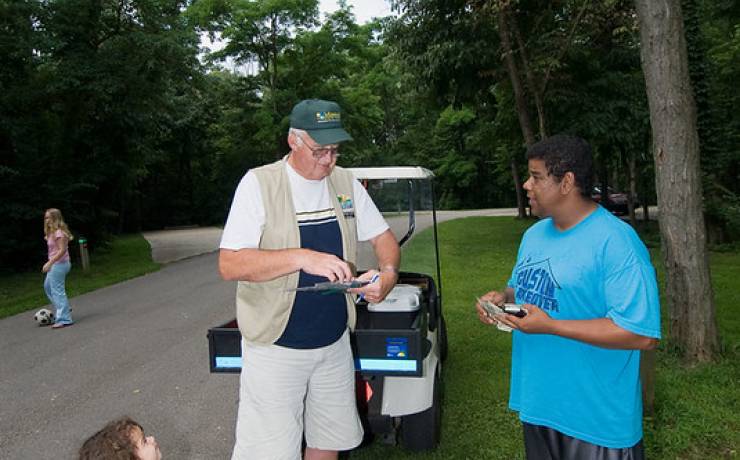
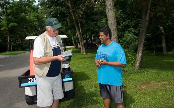
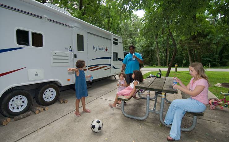
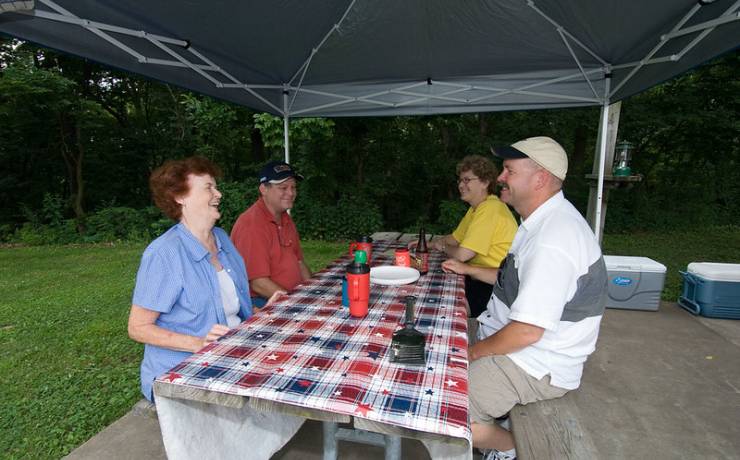
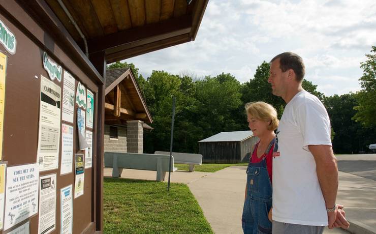
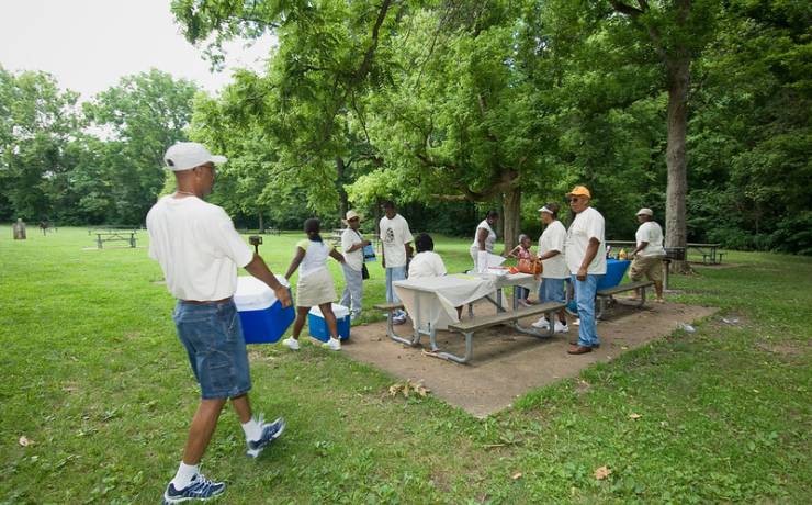
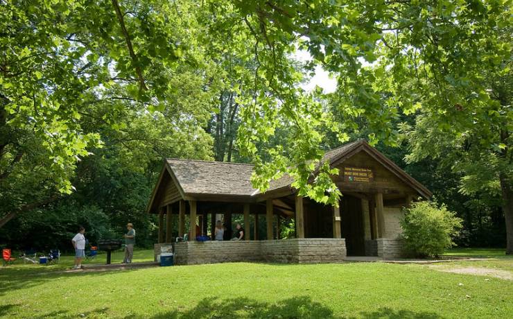
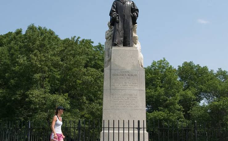
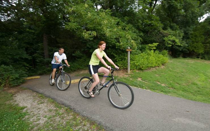
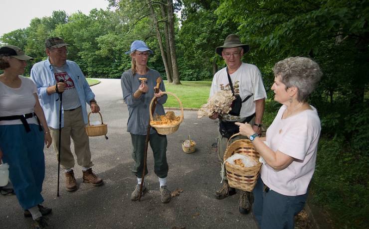
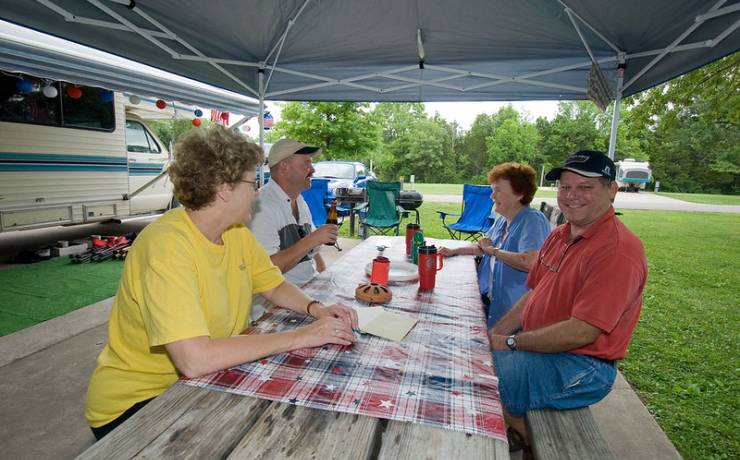
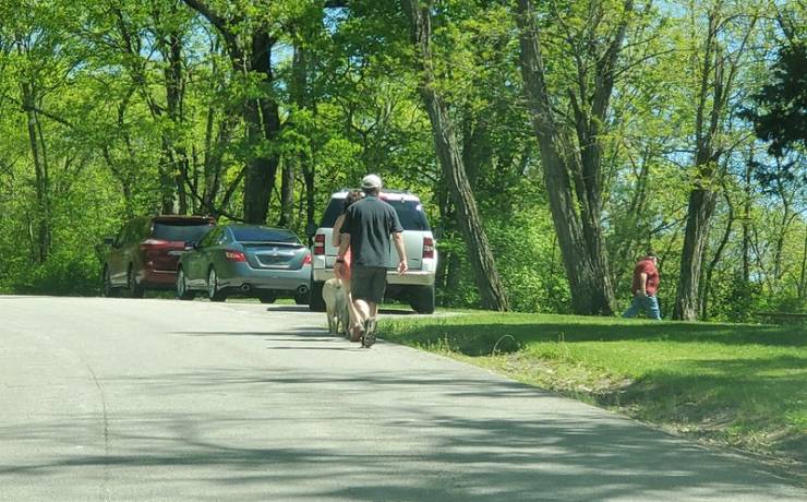
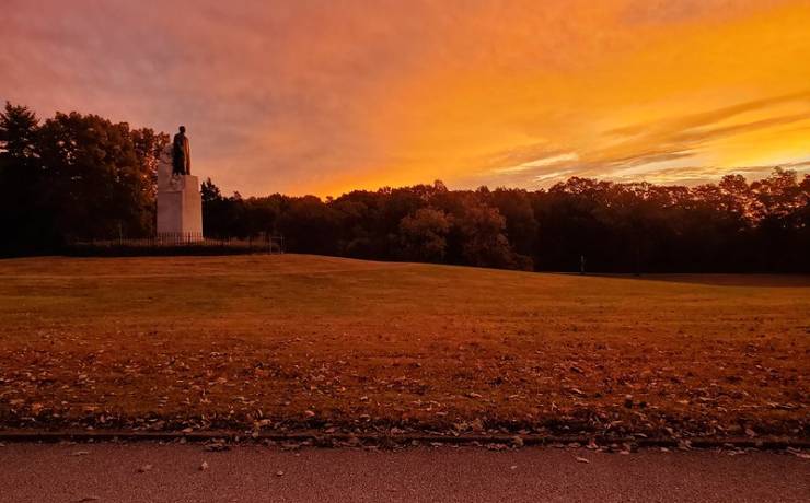
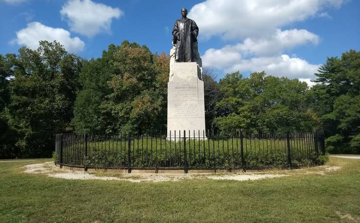
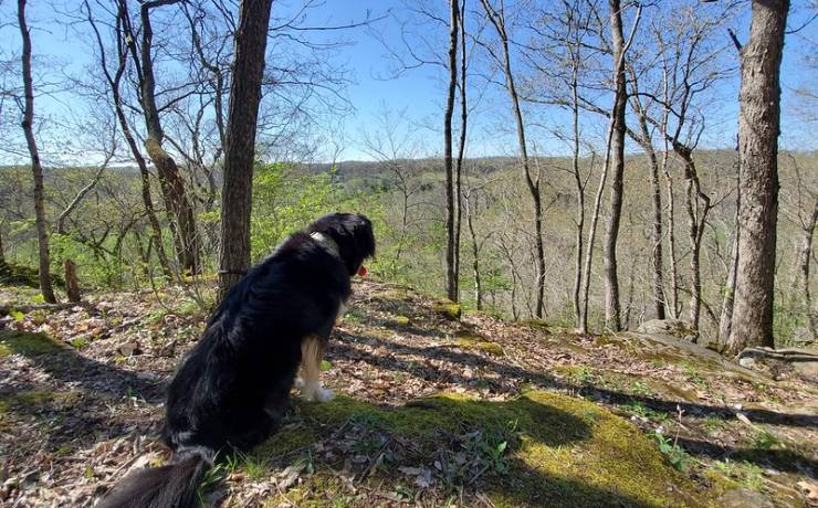
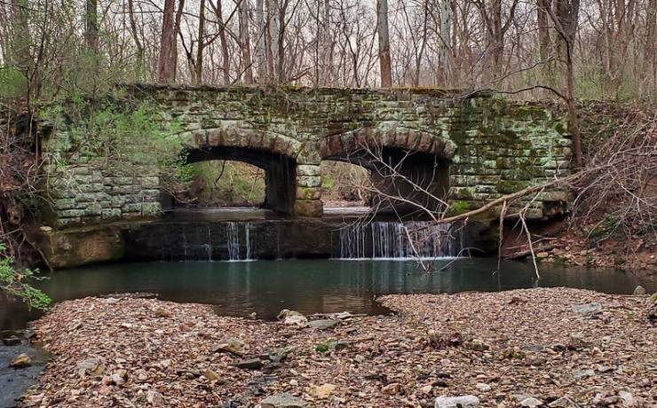
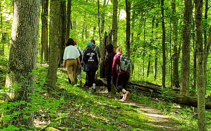
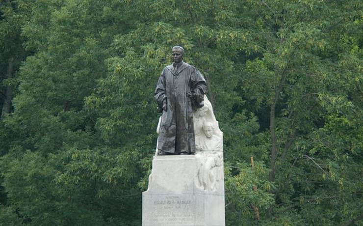
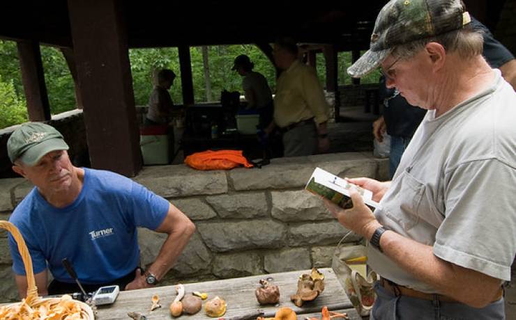
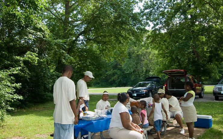
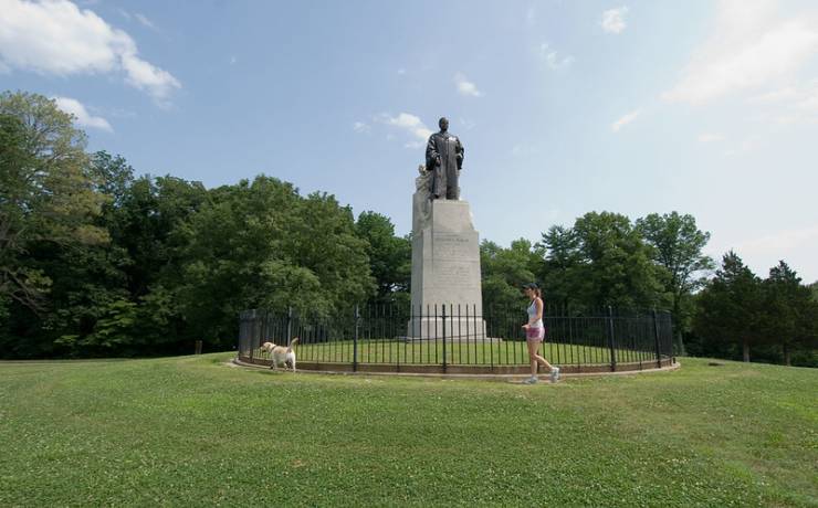
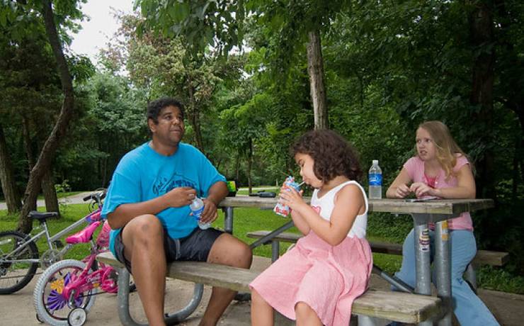
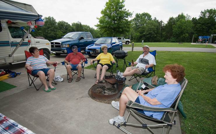
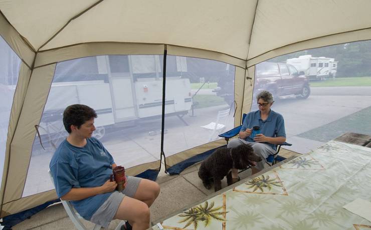
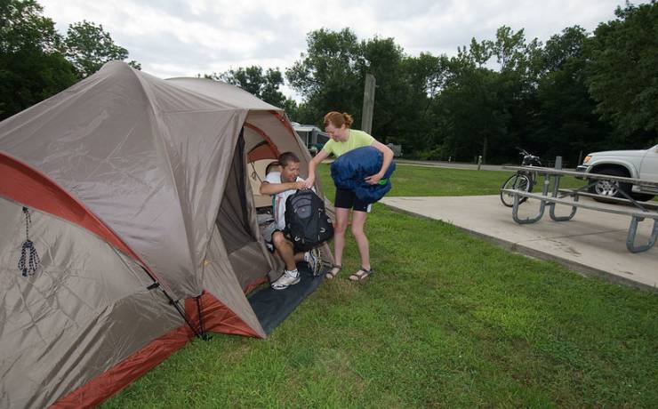
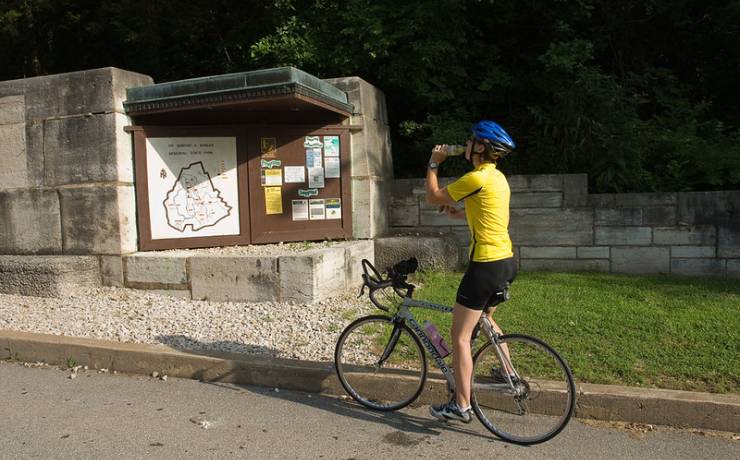
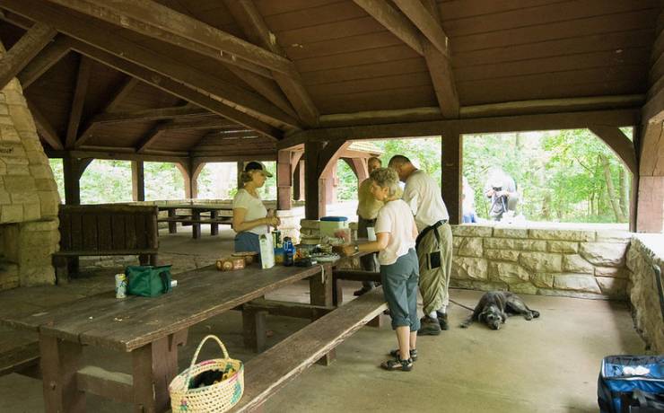
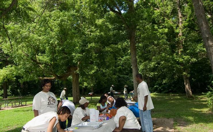
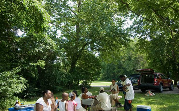
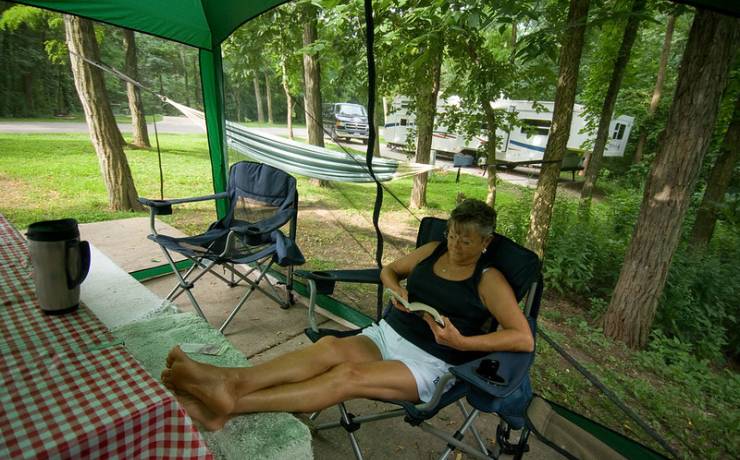
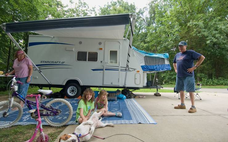
[Skip all navigation]

DNR Home PageDNR Home Page | Locator Map | Resource Center | FAQ | Events | Directory | Search

Dr. Edmund A. Babler Memorial State Park
636-458-3813

Trails

The park occupies over 2,400 acres and is known for its heavily wooded terrain. Four short trails give the hiker an opportunity to experience the old-growth forest. Much of the park's land consists of loess mounds - soil piled up after the most recent retreats of the glaciers that made their way to the Missouri River just north of the park. This can lead to some muddy hiking after rainy periods. None of the trails are longer than two miles in length and the shortest is just over one mile long. Each trail has its own features, and three of them are joined by connector trails if a longer hike is desired.

Many opportunities for nature observation and study can be found along the trails. In the spring, the park is known for its wildflower variety. Throughout the year, deer and turkey are plentiful. The small mammal population of squirrel, raccoon and rabbit has a ready supply of food and shelter from the oaks and hickories that dominate the forest trees. The fall brings spectacular displays of color that can last for almost two months because of the diversity of trees that are present and their staggered times for changing color. Winter gives the hiker the opportunity to see the shape of the land and appreciate the massive trees whose trunks and height are clearly visible in the absence of understory foliage.

Hawthorn Trail -- 1.25 miles
This trail takes the hiker along the northeast side of a narrow ridge and returns on the southwest side. A marked difference in plants and habitat is found on the two aspects of the ridge. The prevailing hot and dry southwestern winds give an almost gladelike appearance to the section of trail along the side of the ridge facing the southwest. The soil is dryer, plants are sparser and in many areas, the underlying rock is exposed. On the northeast side, plants are thicker and greener, the soil is deeper and groves of pawpaw trees flourish on the slope and in the valley below the trail.

Dogwood Trail -- 2 miles
This is probably the most strenuous of the four trails. It rises and falls several times over the maximum altitude change in the park, about 300 feet. The trail head serves both Dogwood and Woodbine trails and the two trails can easily be combined for a longer hike. Chert, flintlike rock is exposed in some of the slopes of dry ridges on this trail. The hiker is also taken through moist, green valleys in the low sections of the trail and heavily wooded sections on the northeast side of the trail. At the highest point, the trail passes a stone picnic shelter and restroom, remnants of the work done by the Civilian Conservation Corps (CCC) when the great depression-spawned group used the park as a camp in the 1930s.
Comments:View comments from hikers of this trail during 2007

Woodbine Trail -- 1.75 miles
This trail starts in the north-south valley that intersects the park and soon starts uphill, sharing a section of a paved bike trail that runs through the woods. It is on this sheltered section of the trail that the moist runoff creek that parallels the trail provides verdant foliage. Pawpaw, spicebush, jack-in-the-pulpit, trillium and other deep green plants grow along each side of the trail. Near the top of the hill, the trail departs the bike path and crosses a footbridge. Across the bridge, the trail traverses a ridge that gets plenty of sunshine and provides some of the earliest fall color for viewing.

Virginia Day Memorial Nature Trail -- 2 miles
A fine lady, for whom this trail is named, spent some of the last years of her life as a volunteer naturalist working at the park. She made a wonderful impression on the young people that visited the park and inspired many of them to study nature with enthusiasm. The trail starts near the park’s visitor center and descends into a valley and to a ridge on the far side of the loop. At that point, a connector trail branches off that can be used to reach the bike path and the Woodbine Trail. Continuing on the trail, the hiker descends back into the valley and reaches the spur that goes back to the trail head. Because of the proximity of this trail to the visitor center, it is used for many nature study programs. Opportunities are provided for observing concepts such as forest layers, changes in tree height from ridge to valley, types of trees at various levels of available moisture, and the process of secondary succession in a recovering forest.