


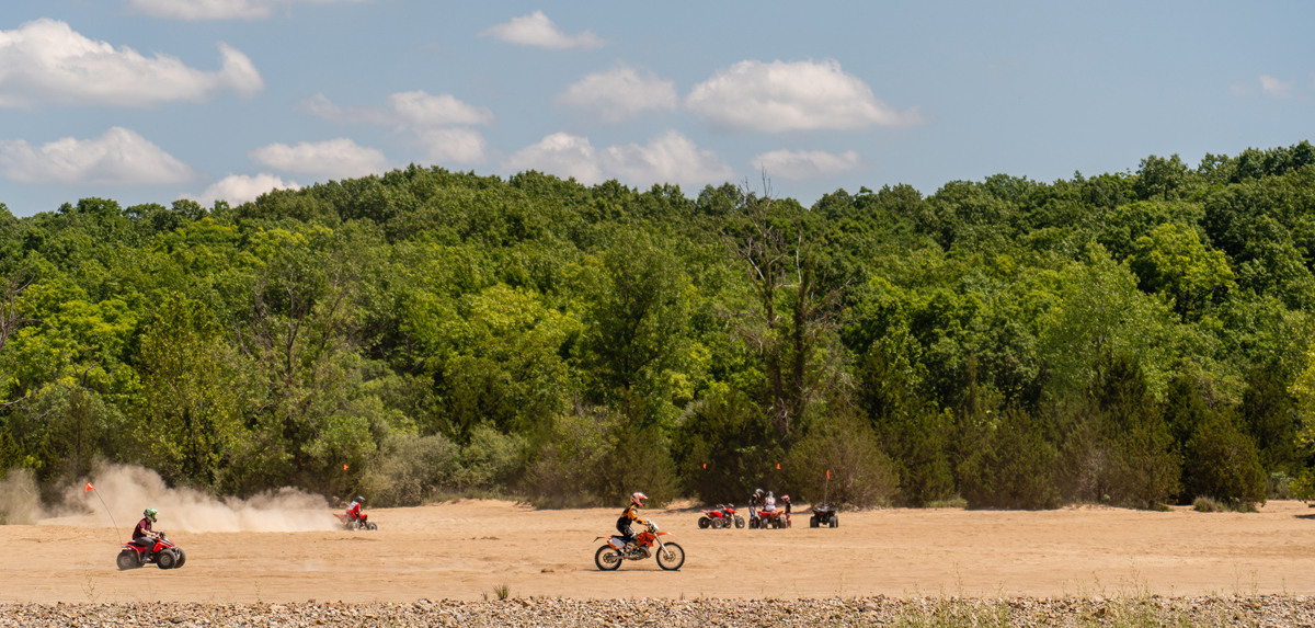
Know Before You Go

Make Your Reservation Today!
Same-day reservations are now available for camping stays and will be accepted online at www.icampmo.com or by phone at 877-422-6766 up until 7 p.m. the day of your planned arrival.
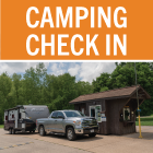
Read more…Self-Check-In at Missouri State Parks
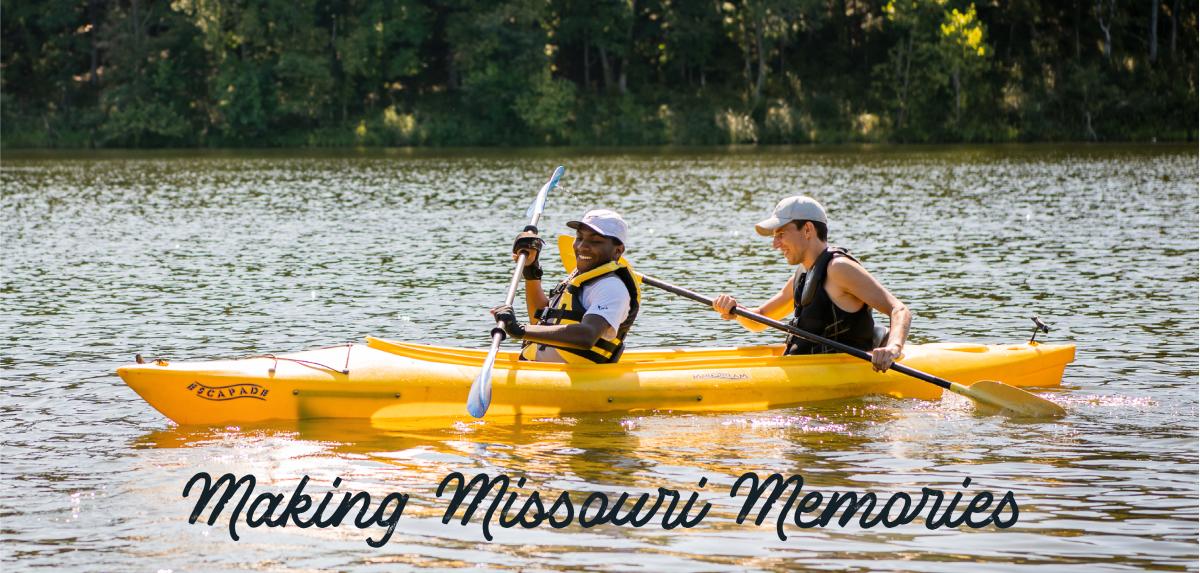
Missouri state parks provide the ideal setting. It's up to you to create the memories of that perfect camping trip. Start planning your visit and reserve your site today.
Read more…


