Park Information
Visitors can discover a part of German American heritage and experience an early Missouri settlement, all in one place—Deutschheim State Historic Site. This site is located in Hermann, a town known throughout the Midwest for its German heritage. Deutschheim State Historic Site preserves several structures dating from 1840-1890 that reflect the period when Germans first settled the Missouri River valley that reminded them of home.
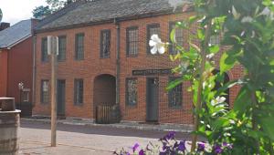
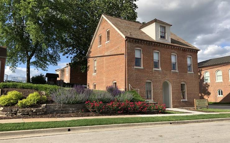
The site includes the Pommer-Gentner house, which was built in 1840 and is one of the oldest surviving buildings in Hermann. It also preserves the Carl Strehly house, which was built in 1842. Through guided tours of both historic houses, visitors can experience the daily life and traditions of German immigrants to Missouri in the mid-19th century.